Monte Bove: a ring route for three Peaks - 07/06/2026

Monte Bove: a ring route for three Peaks

Ussita (MC)
May 2026June 2026July 2026August 2026September 2026October 2026November 2026December 2026January 2027February 2027March 2027April 2027May 2027June 2027July 2027August 2027September 2027October 2027November 2027December 2027January 2028February 2028March 2028April 2028May 2028June 2028July 2028August 2028September 2028October 2028November 2028December 2028
Lun
Mar
Mer
Gio
Ven
Sab
Dom
1
2
3
4
5
6
7
8
9
10
11
12
13
14
15
16
17
18
19
20
21
22
23
24
25
26
27
28
29
30
1
2
3
4
5
Sunday 7 June 2026
from 9:30 at 16:00 - Meeting at: 9:00
19 available places
Guide:
Adults
22,00 €
Total
22 €
Price notes: l'escursione comprende organizzazione, guida AIGAE con assicurazione RCT. Costo di 8 € per seggiovia
Request more information
WhatsApp message
Proposta venduta da Passamontagna Viaggi Tour Operator

Itinerary characteristics

Length
Length
13 km
Elevation gain
Elevation gain
800 m
Duration
Duration
6 Hours
Difficulty
Difficulty
EE
Group
Group
Max 20

Description

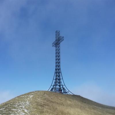
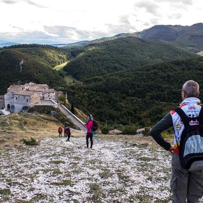
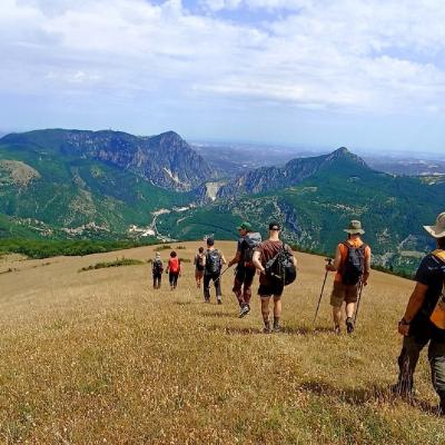
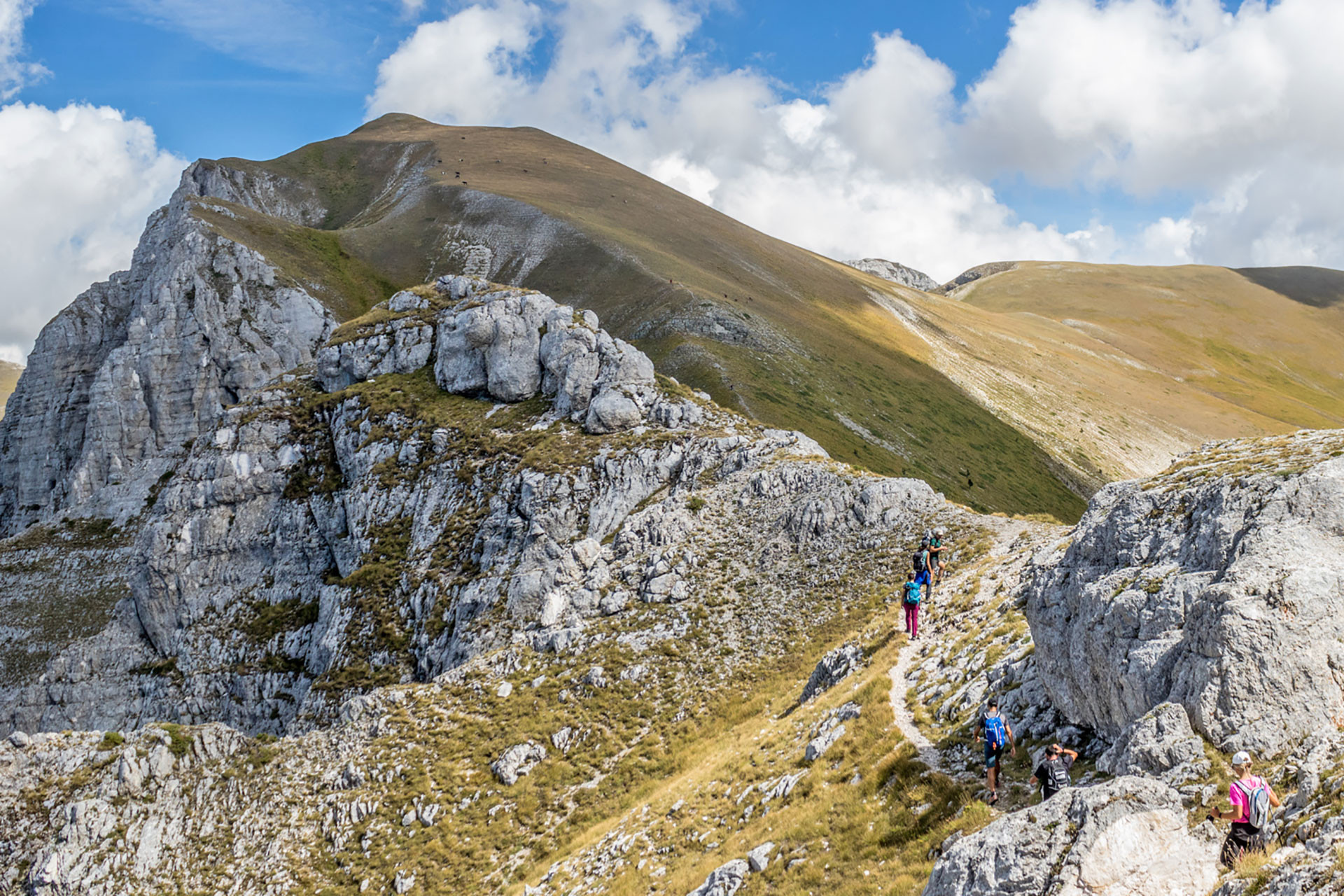
The loop itinerary traverses the entire ridge line between Mount Bicco, Mount Bove South, and the Cross of Mount Bove, before descending into the valley, within the amphitheater shaped by the last glaciation. Being a mountain in the center of the Sibillini range, it offers magnificent panoramic views of much of the Sibillini.
The mountain has been involved in the reintroduction of the Apennine Chamois, an endemic species of the Central Apennines now easily spotted on the rockier slopes.
From the meeting point, we will drive for 4 km on a dirt road in good condition to reach the starting point of the hike. However, it is preferable to have a car that is not too low and with tires in good.
 

Meeting place
Piazzale Saliere Hours 09:00
Meeting place: 42.919864,13.162735
Carpool sharing - useful information

You can coordinate with other participants to share your car or if you're looking for a ride.

You can manage trip sharing even during or after booking

To use this functionality

Difficulty

EE = For expert hikers