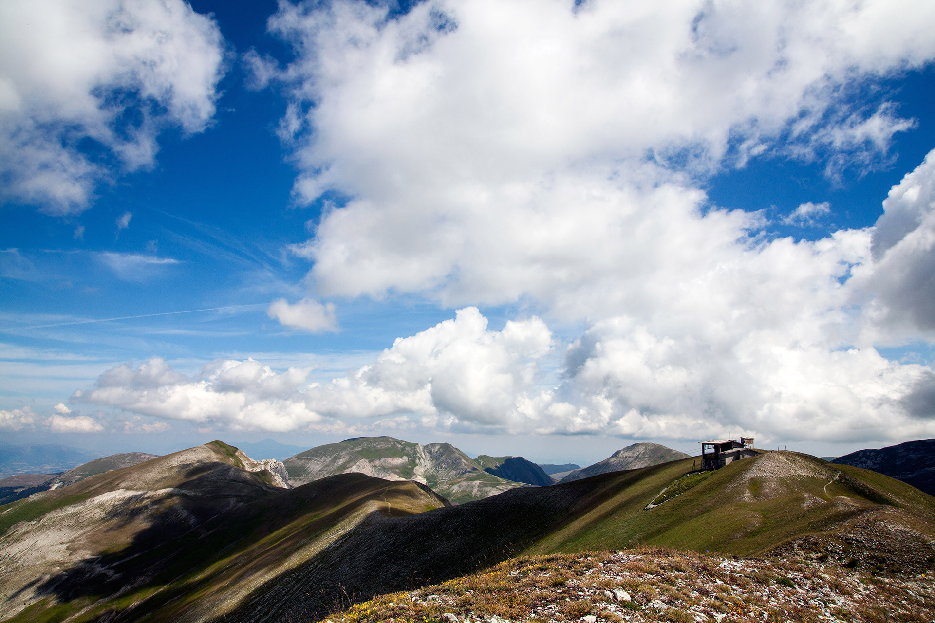
Monte Bove: a ring route for three Peaks
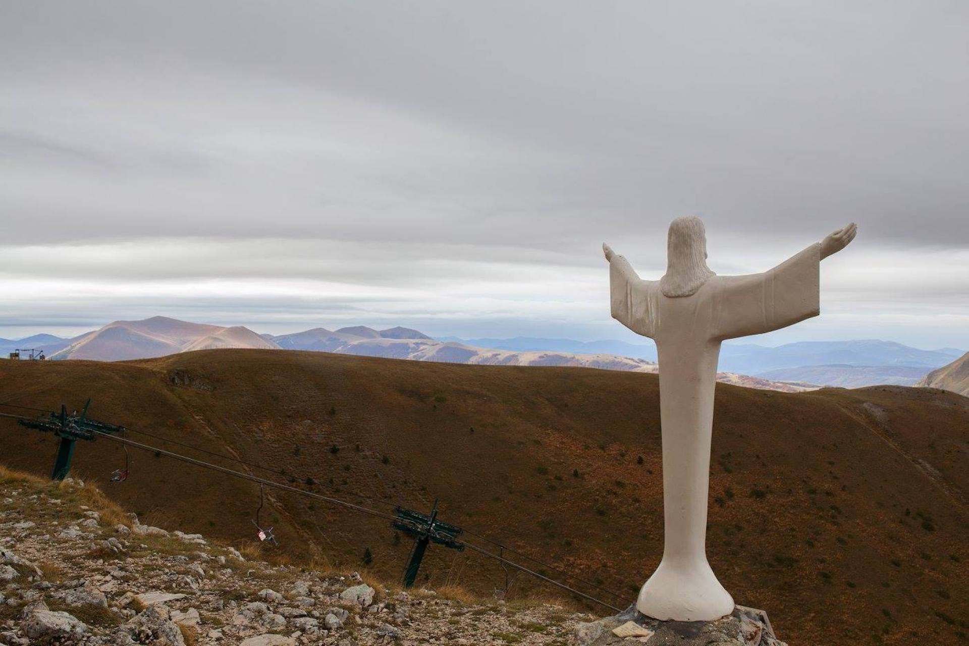
The loop itinerary traverses the entire ridge line between Mount Bicco, Mount Bove South, and the Cross of Mount Bove, before descending into the valley, within the amphitheater shaped by the last glaciation. Being a mountain in the center of the Sibillini range, it offers magnificent panoramic views of much of the Sibillini.
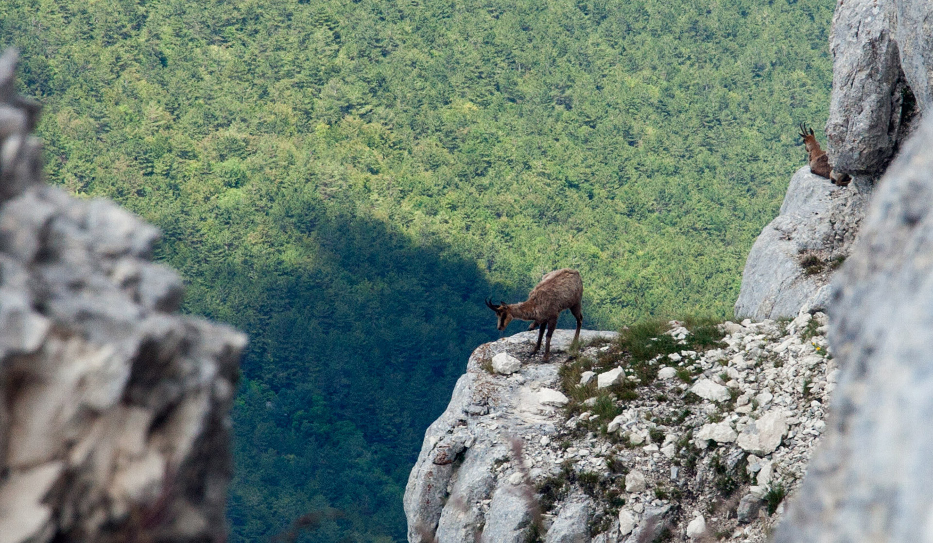
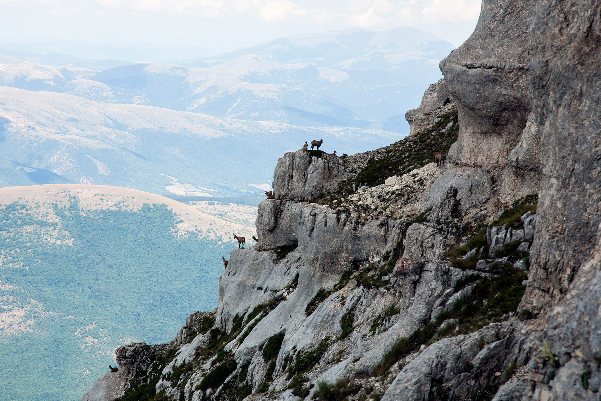
The mountain has been involved in the reintroduction of the Apennine Chamois, an endemic species of the Central Apennines now easily spotted on the rockier slopes.
From the meeting point, we will drive for 4 km on a dirt road in good condition to reach the starting point of the hike. However, it is preferable to have a car that is not too low and with tires in good.
Itinerario generalmente segnalato, ma che richiede capacità di muoversi su terreni particolari, quali tratti su terreno impervio o infido, tratti rocciosi con lievi difficoltà tecniche (es. tratti attrezzati), tratti non segnalati, etc.