Lun
Mar
Mer
Gio
Ven
Sab
Dom
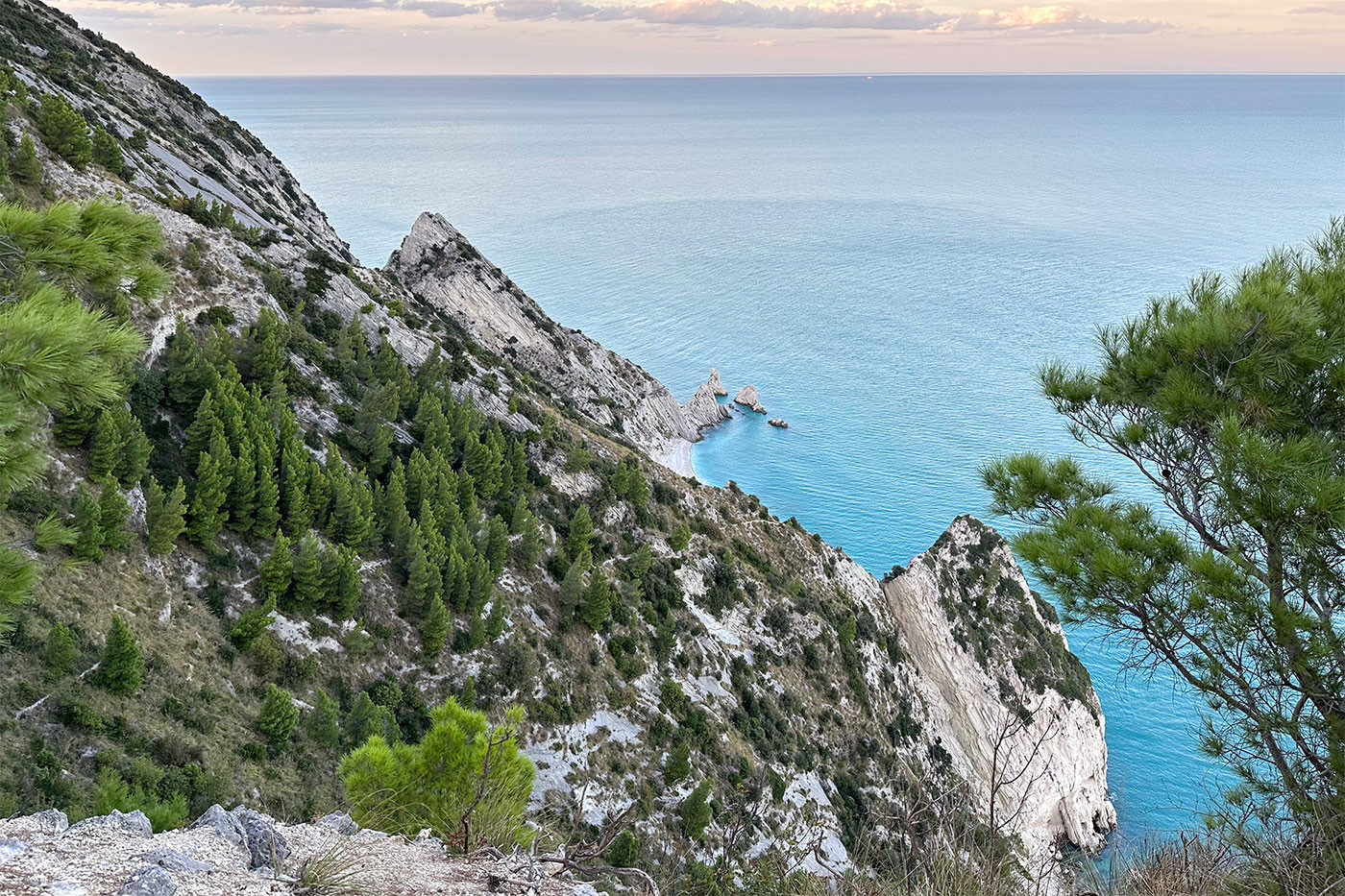
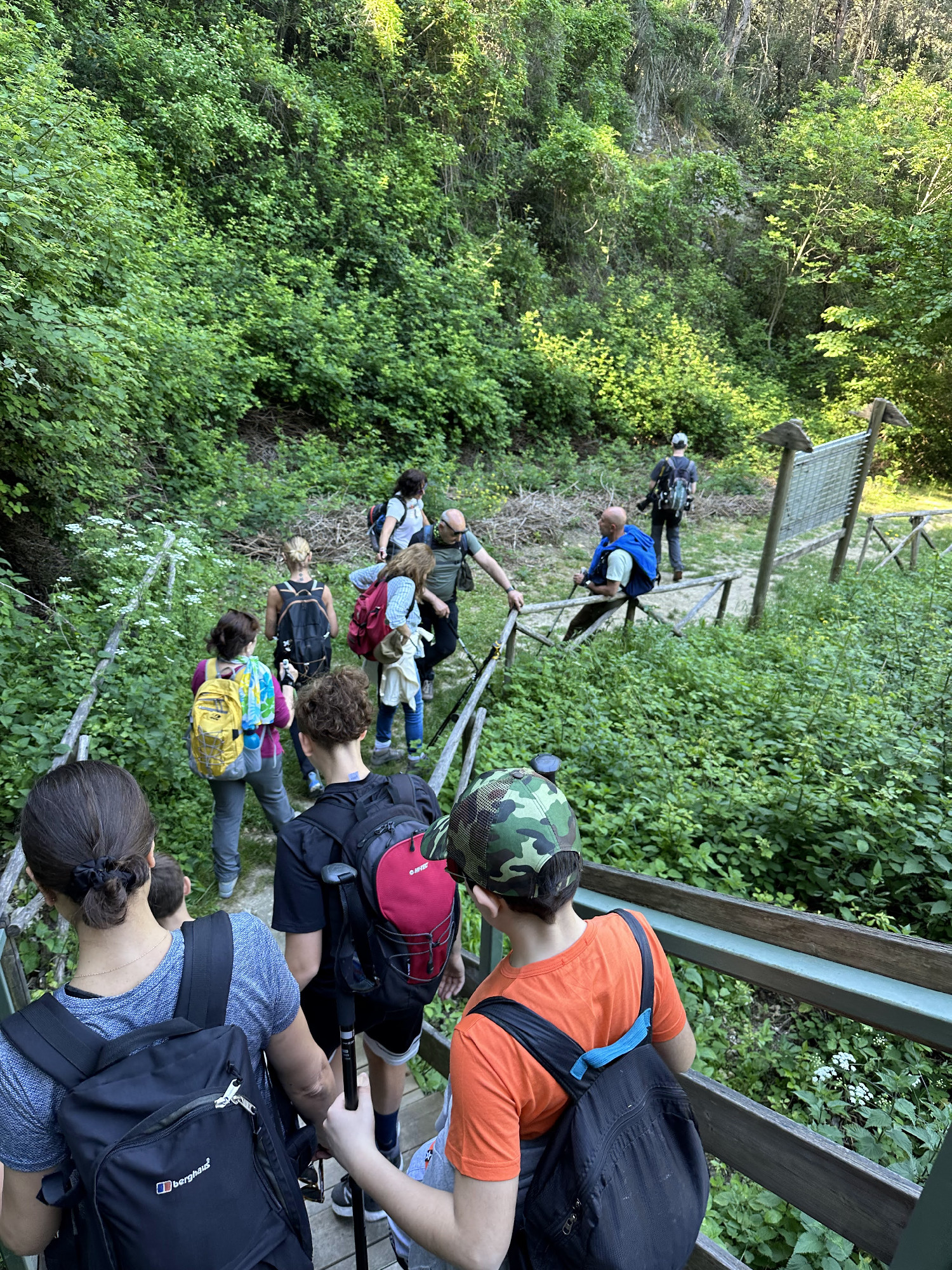
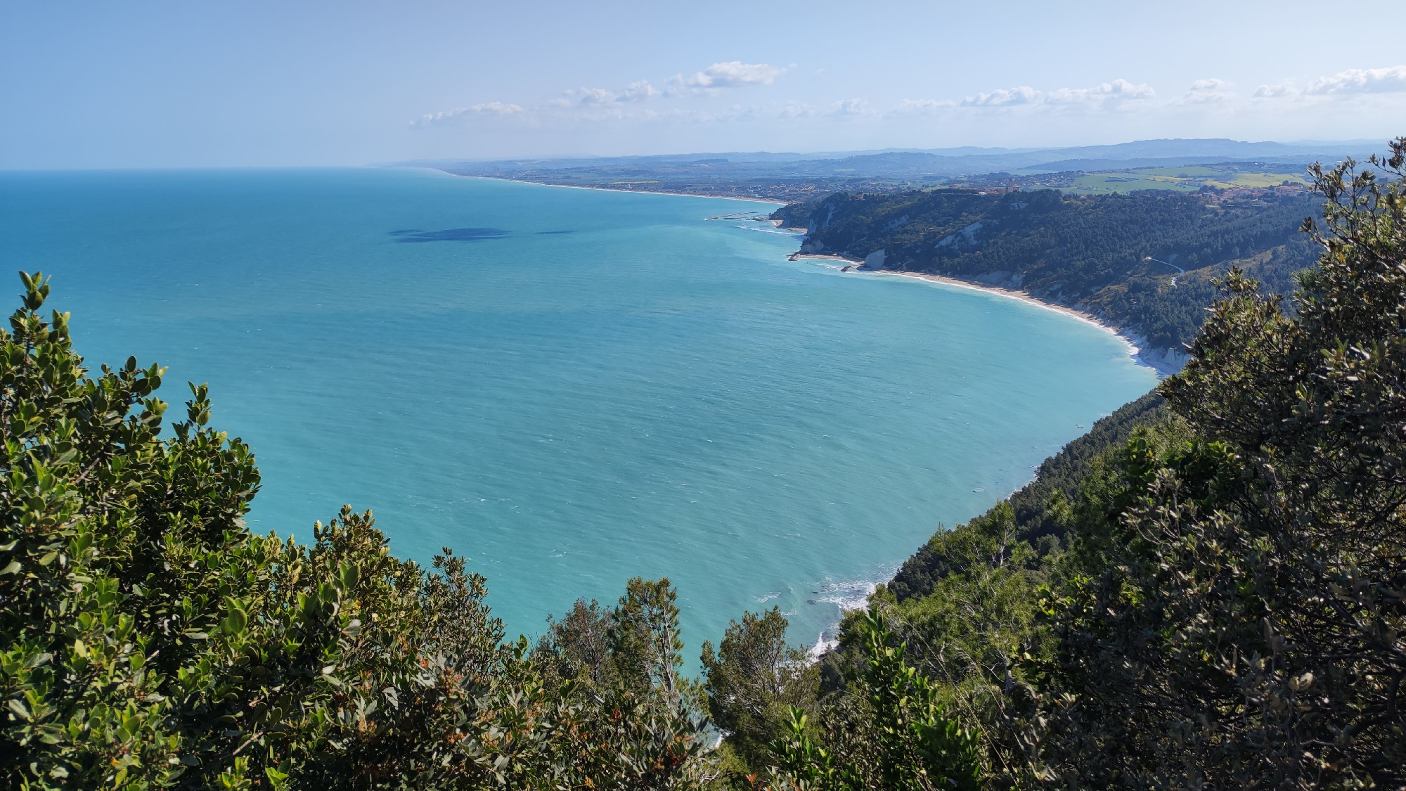
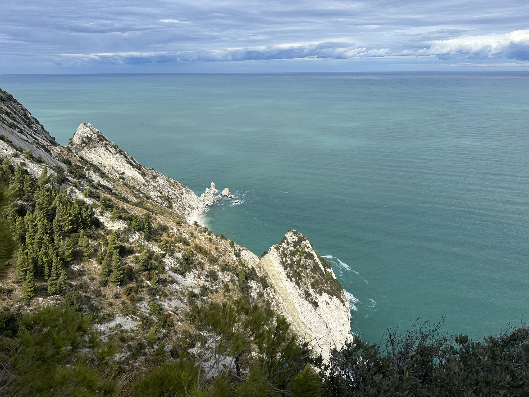
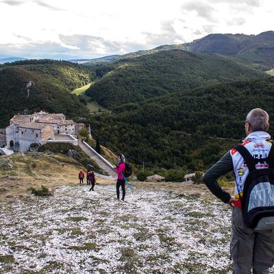
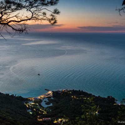
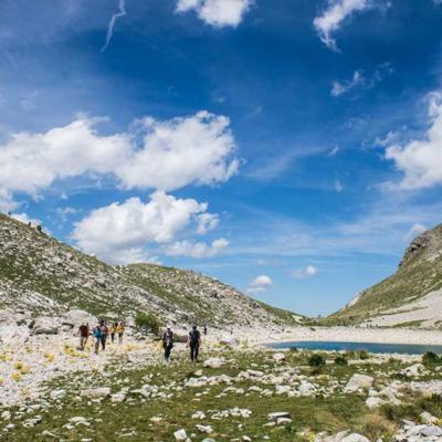
Mount Conero is one of the must-see natural wonders of the Marche region, a mountain towering over the sea covered by a dense forest.
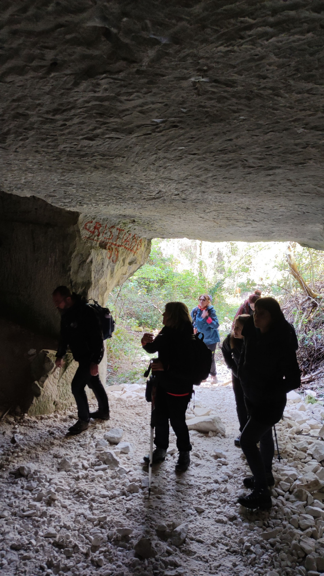
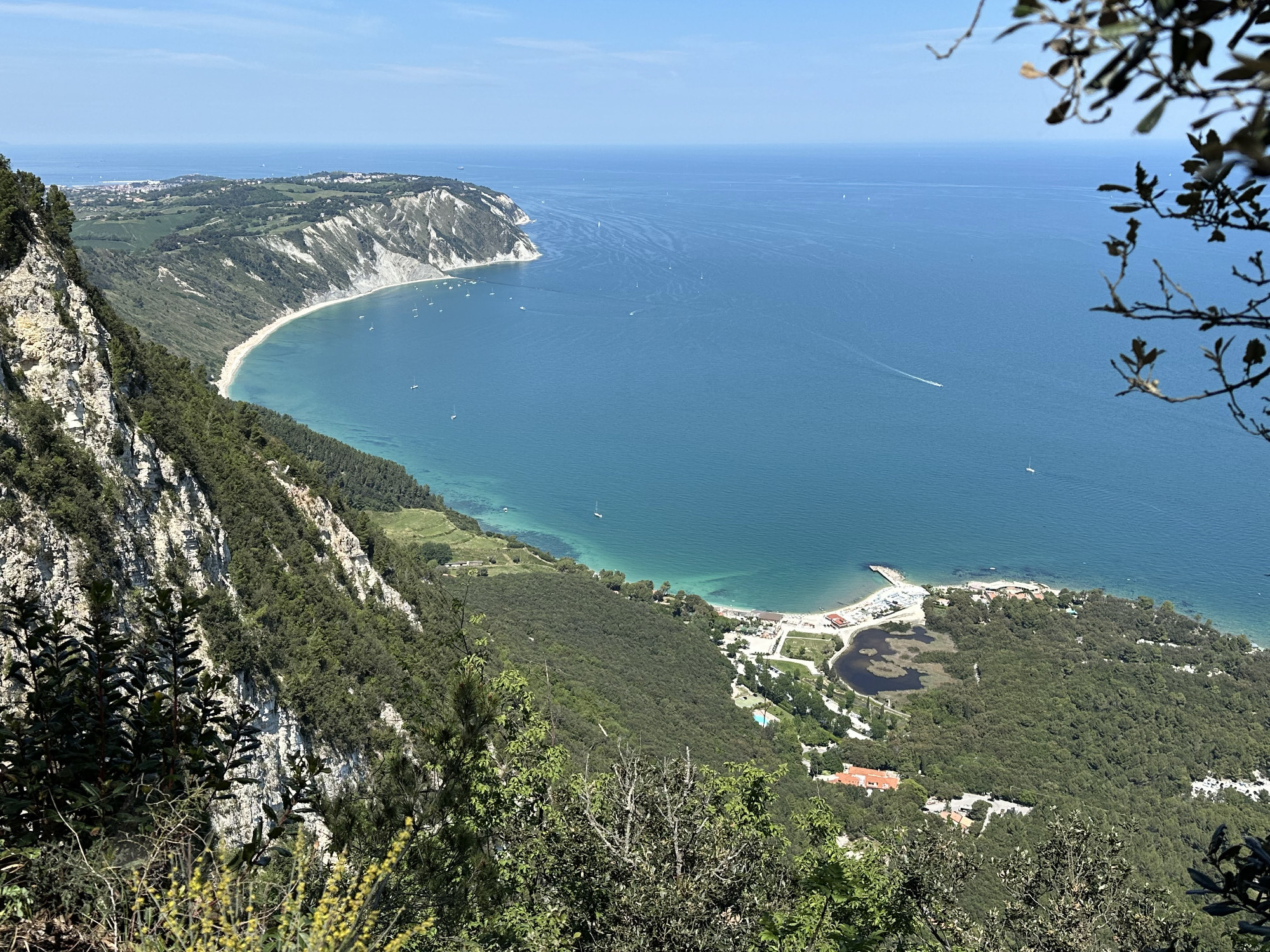
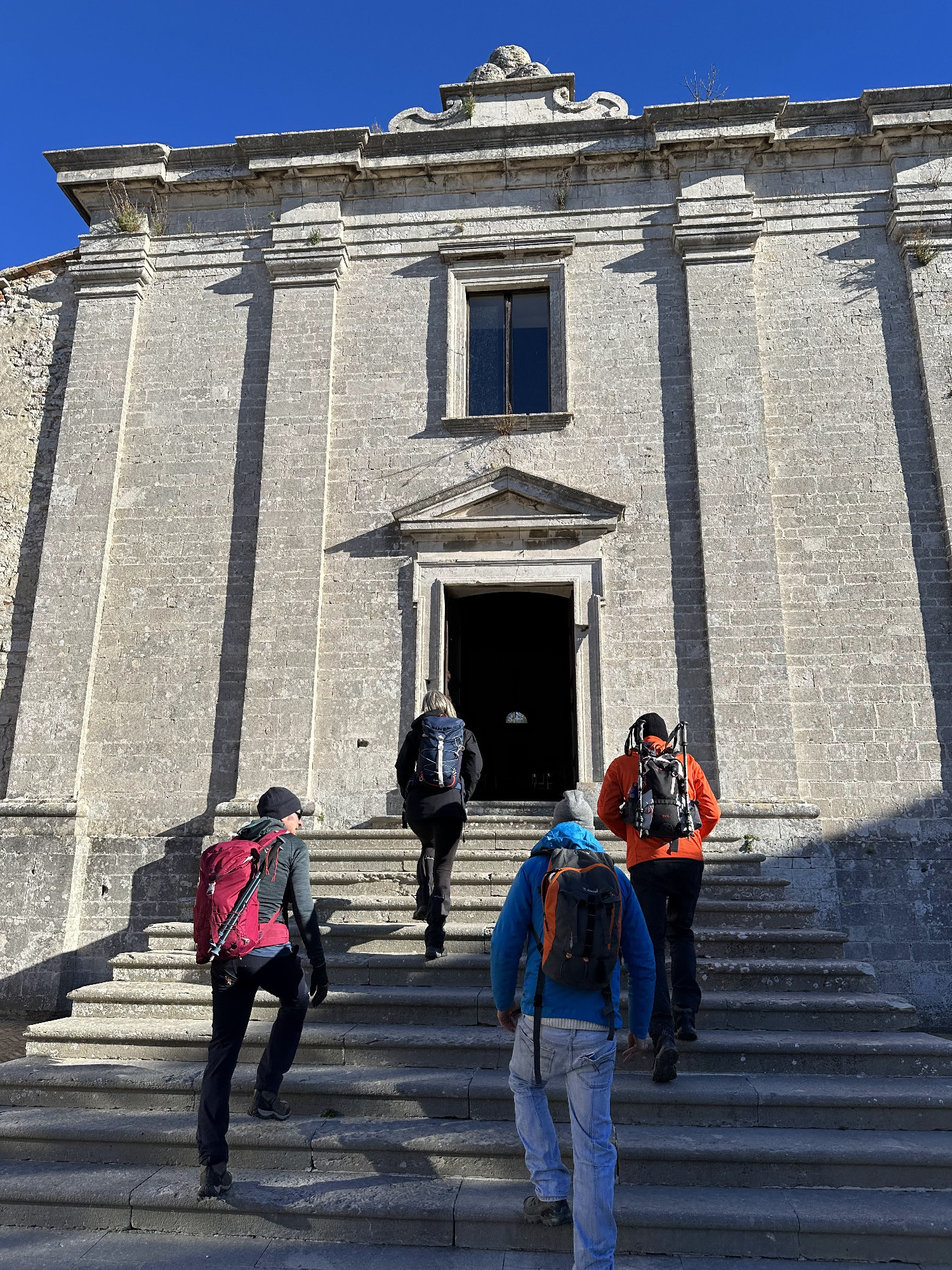
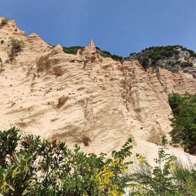
The itinerary touches upon the most characteristic and panoramic spots of Conero, from the quarries revealing the K-T boundary, to the Roman caves, to the lookout point over the bay of Portonovo, from the Church of San Pietro al Conero to the southern viewpoint with a spectacular view of Sirolo.